

Introduction
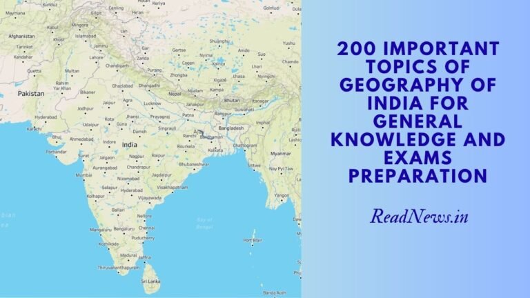
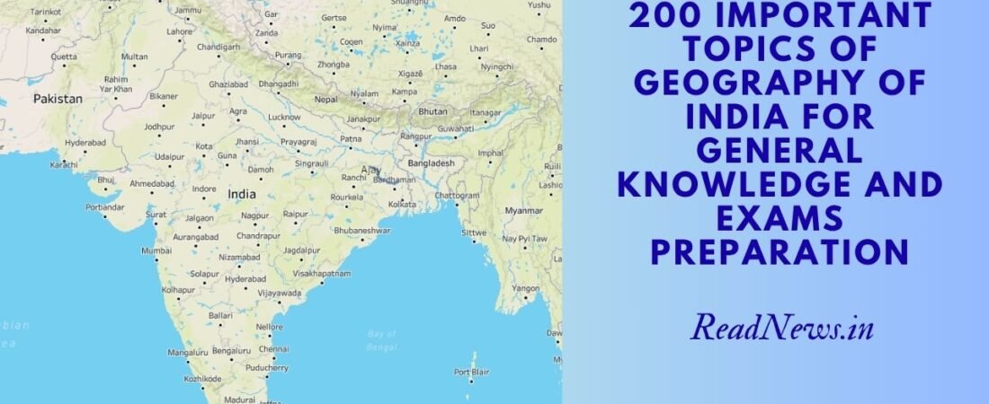
Geography of India is far more than maps and capitals—it’s the intricate relationship between India’s diverse physical landscape, its human societies, economic systems, and environmental challenges. From the Himalayan peaks to the Deccan plateaus, from monsoon patterns that govern agriculture to the dense urban centers shaping modern India, geography provides the spatial context for understanding the nation’s development, challenges, and possibilities.
This guide maps out 200 critical geography topics essential for UPSC, banking exams, government job preparation, and competitive examinations. Each topic anchors not in rote memorization but in understanding how India’s geography shapes its economy, politics, society, and future. Whether examining climate patterns, resource distribution, or regional disparities, these topics reveal the spatial logic underlying contemporary India.
PHYSICAL GEOGRAPHY OF INDIA (Topics 1-60)
Location and Boundaries
- India’s geographic coordinates: Latitude and longitude extent
- Tropic of Cancer: Passage through India and significance
- Prime Meridian reference and time zones
- International boundaries: Length and neighboring countries
- Maritime boundaries: EEZ and territorial waters
- Western boundary: Arabian Sea and coastline
- Eastern boundary: Bay of Bengal and coastline
- Northern boundary: Himalayan ranges and geopolitics
- Southern tip: Kanyakumari and strategic importance
- Border disputes: Kashmir, Arunachal Pradesh, Sino-Indian relations
Mountain Systems and Ranges
- Himalayan Mountain System: Origin and formation
- Himalayas: Major peaks and their names (Everest, K2, Kangchenjunga)
- Karakoram Range: Location and significance
- Western Ghats: Biodiversity hotspot and Western Ghats Escarpment
- Eastern Ghats: Features and mineral wealth
- Aravalli Range: Oldest mountain system and location
- Satpura Range: Central India highlands
- Vindhya Range: North-South water divide significance
- Nilgiri Hills: Demarcation between plateaus
- Eastern Himalayan foothills: Darjeeling-Sikkim region
- Piedmont plains: Formation and agricultural significance
Plateau and Plains
- Deccan Plateau: Structure, elevation, and characteristics
- Malwa Plateau: Indore region and agriculture
- Chota Nagpur Plateau: Mineral wealth and tribal region
- Meghalaya Plateau: Rainfall and rivers
- Indo-Gangetic Plain: Formation and fertility
- Brahmaputra Valley: Unique geography and flooding
- Coastal Plains: Western and Eastern coastal plains
- Alluvial plains: Composition and agricultural productivity
- Black soil region: Distribution and cotton cultivation
Drainage Systems and Rivers
- Indus River system: Course, tributaries, and international importance
- Ganga River: India’s longest east-flowing river and significance
- Brahmaputra River: Northeastern lifeline and flooding issues
- Yamuna River: Ganga’s major tributary and pollution crisis
- Godavari River: South India’s major river and basin
- Krishna River: Deccan Plateau drainage
- Kaveri River: South India and interstate water disputes
- Narmada River: Central India’s north-south flowing river
- Sutlej River: Himalayan source and hydroelectric projects
- Ravi and Chenab Rivers: Punjab water systems
- Beas River: Punjab and hydroelectric importance
- Tapti River: West coast drainage
- Sabarmati River: Gujarat and water disputes
- Perennial vs. seasonal rivers: Geographic distribution
- River confluences: Sangams and their religious significance
- Deltas: Ganga-Brahmaputra delta and Godavari delta
- River valley civilizations: Historical significance
- Groundwater systems: Aquifers and depletion
- Lakes: Saltwater lakes (Sambhar, Wular) and freshwater lakes
- Artificial reservoirs: Dams and their geographic impact
Climate and Monsoon
- Monsoon patterns: Southwest and Northeast monsoons
- Southwest monsoon: June-September and agriculture
- Withdrawal of monsoon: Seasonal variations
- Monsoon variability: Droughts and floods
- Western disturbances: Winter precipitation in North
- Climate zones: Tropical, subtropical, temperate
- Tropical wet climate: Western Ghats and Northeast India
- Tropical dry climate: Deccan interior
- Arid and semi-arid regions: Rajasthan and Gujarat
- Temperature variations: Seasonal and regional patterns
Natural Resources and Minerals
- Coal deposits: Distribution across Odisha, Jharkhand, Chhattisgarh
- Iron ore: Odisha, Jharkhand, Karnataka reserves
- Bauxite: Odisha and Jharkhand deposits
- Manganese: Distribution and industrial use
- Limestone: Cement industry and distribution
- Mica: Jharkhand and Bihar deposits
- Copper: Rajasthan and Madhya Pradesh
- Gold: Karnataka and Odisha reserves
- Petroleum: Offshore and onshore reserves
- Natural gas: Krishna-Godavari basin
- Uranium: Jharkhand deposits and nuclear power
- Chromite: Odisha mines
- Diamond: Madhya Pradesh and Andhra Pradesh
- Gemstones: Kashmir and other regions
- Salt: Coastal and inland salt production
REGIONAL GEOGRAPHY OF INDIA (Topics 76-140)
Northern India
- Himalayan region: Geography and livelihoods
- Kashmir Valley: Geography and geopolitical significance
- Himachal Pradesh: Hill stations and agriculture
- Uttarakhand: Pilgrimage centers and tourism
- Punjab: Green revolution region and agriculture
- Haryana: Industrial growth and water disputes
- Delhi: National capital region and urbanization
- Uttar Pradesh: Most populous state and geography
- Rajasthan: Desert region and water scarcity
Eastern India
- West Bengal: Rivers and industrial base
- Bihar: Gangetic plain and agricultural challenges
- Jharkhand: Plateau and mineral-rich state
- Odisha: Coastal state and mineral resources
- Northeast India: Unique geography and connectivity
- Assam: Brahmaputra valley and tea gardens
- Meghalaya: Wettest place and plateau
- Arunachal Pradesh: Border state geography
- Mizoram: Hill state and tribal region
- Manipur: Valley geography and landlocked challenge
- Nagaland: Hill range and tribal culture
- Tripura: Small state and geographic constraints
- Sikkim: Mountain state and biodiversity
- Darjeeling: Hill station and tea cultivation
Central India
- Madhya Pradesh: Central location and mineral wealth
- Chhattisgarh: Rice bowl and mineral resources
- Gujarat: Industrial growth and coastal economy
- Maharashtra: Economic hub and geography
- Goa: Coastal state and mining issues
Southern India
- Andhra Pradesh: Deccan plateau and coastal region
- Telangana: Separated state and plateau geography
- Karnataka: Plateau and Ghats geography
- Tamil Nadu: Coastal state and water systems
- Kerala: Tropical geography and backwaters
- Puducherry: Union territory and coastal characteristics
Island Geography
- Andaman and Nicobar Islands: Location and strategic importance
- Lakshadweep Islands: Coral atolls and geography
- Island administration: Population and development challenges
- Exclusive Economic Zone (EEZ): Maritime boundaries
Coastal Geography
- Arabian Sea coast: Western coastline characteristics
- Bay of Bengal coast: Eastern coastline features
- Indian Ocean: Maritime boundaries and trade routes
- Coral reefs: Andaman islands and conservation
- Mangrove forests: Coastal ecosystem importance
- Coastal erosion: Climate change and mitigation
- Port cities: Geographic advantage and development
- Beach mining: Environmental concerns
Urban Geography
- Metropolitan areas: Mumbai, Delhi, Bangalore, Chennai, Kolkata
- Tier-2 cities: Growth centers and development
- Urban sprawl: Expansion and challenges
- Slum development: Urban poverty geography
- Smart cities: Geographic distribution and development
- Traffic congestion: Urban planning issues
- Water supply systems: Urban infrastructure
- Waste management: Urban environmental challenges
Rural Geography
- Agricultural regions: Crop distribution and zonation
- Forest regions: Biodiversity hotspots
- Pastoral regions: Livestock farming and livelihoods
- Tribal zones: Geographic distribution and development
- Rural settlements: Patterns and characteristics
- Village infrastructure: Roads, electricity, water
- Agricultural practices: Traditional and modern
- Land holding patterns: Fragmentation issues
- Irrigation networks: Canal and well systems
- Market towns: Periodic markets and hinterland
- Rural-urban migration: Geographic patterns and causes
ECONOMIC GEOGRAPHY OF INDIA (Topics 141-170)
Agricultural Geography
- Rice cultivation: Geographic zones and varieties
- Wheat production: Northern plains and varieties
- Cash crops: Cotton, sugarcane, tea, coffee distribution
- Pulses cultivation: Production zones
- Oilseed production: Major regions
- Spice cultivation: Kerala, Karnataka, and specialized regions
- Fruit production: Apple, mango, banana regions
- Tea gardens: Assam, Darjeeling, and South India
- Coffee plantations: Western Ghats cultivation
- Dairy industry: Geographic distribution
- Fishing zones: Marine and freshwater regions
- Sericulture: Karnataka and silk production
Industrial Geography
- Iron and steel industry: Odisha, Jharkhand, and Karnataka
- Textile industry: Maharashtra, Gujarat, Tamil Nadu
- Pharmaceutical industry: Hyderabad and geographic clusters
- IT industry: Bangalore, Hyderabad, Pune clusters
- Automobile industry: Delhi, Mumbai, Chennai
- Cement industry: Distribution and logistics
- Petrochemical industry: Mumbai region and refineries
- Food processing industry: Geographic concentration
- Diamond polishing: Gujarat centers
- Jute industry: West Bengal and Northeast
Trade and Transportation
- Port infrastructure: Major ports and location
- Shipping routes: Arabian Sea and Bay of Bengal
- Railway network: Geographic distribution and connectivity
- Highway network: National highways and connectivity
- Air transport: Airport distribution and hub cities
- Waterways: Inland navigation and potential
- Trade corridors: BIMSTEC and regional trade
- Special Economic Zones: Geographic distribution and sectors
HUMAN GEOGRAPHY OF INDIA (Topics 171-190)
Population Geography
- Population distribution: Density and concentration
- Population growth: Regional variations and rate
- Census data: Geographic patterns and analysis
- Urban population: Percentage and growth rate
- Rural population: Characteristics and distribution
- Migration patterns: Internal and international
- Age structure: Young and aging population regions
- Gender ratio: Geographic variations and causes
- Literacy patterns: Regional disparities
- Language distribution: Linguistic zones
- Religious geography: Distribution of religions
- Tribal population: Geographic concentration
Cultural Geography
- Regional cultures: South Indian vs. North Indian
- Festival geography: Geographic variations
- Food culture: Regional cuisines and distribution
- Architecture: Regional styles and patterns
- Music and arts: Geographic expression
- Textile tradition: Regional weaving and crafts
- Pilgrimage sites: Sacred geography
- Holy cities: Varanasi, Mathura, Ayodhya significance
Environmental and Resource Geography
- Forest types: Tropical, deciduous, coniferous distribution
- Biodiversity hotspots: Western Ghats, Northeast India
- Protected areas: National parks and sanctuaries
- Endangered species: Geographic distribution
- Climate change impacts: Regional vulnerability
- Water scarcity: Geographic distribution and solutions
- Soil types: Laterite, alluvial, black soil distribution
- Natural disasters: Earthquakes, floods, cyclones geography
- Environmental pollution: Air, water, soil regional patterns
- Sustainable development: Geographic challenges and opportunities
THEMATIC CONNECTIONS: UNDERSTANDING INDIA’S GEOGRAPHY
Geography and Development
India’s regional development disparities are fundamentally rooted in geography. The fertile Indo-Gangetic Plain has historically supported dense population and advanced agricultural systems, while the Deccan Plateau and Eastern regions developed different economic specializations. Coastal regions access maritime trade, while landlocked areas depend on terrestrial connections. Understanding these geographic fundamentals clarifies why certain regions prosper while others face development challenges.
Geography and Climate
The monsoon is India’s geographic destiny. The variability of monsoon rains directly impacts agricultural output, which employs 45% of India’s workforce. Droughts devastate rain-fed agriculture in interior Deccan regions, while coastal areas experience cyclones. Climate change adds new urgency: rising temperatures threaten Himalayan glaciers that feed India’s major rivers, affecting water security for over a billion people.
Geography and Politics
India’s boundaries—from the Kashmir conflict in the North to maritime disputes in the South—are fundamentally geographic questions. Internal boundaries between states often follow geographic features (river valleys, mountain ranges, plateau edges). Water-sharing disputes over the Kaveri, Krishna, and Sutlej rivers demonstrate how geography creates inherent tensions requiring political negotiation.
Geography and Economics
India’s economic zones cluster around geographic advantages: ports attract trade and manufacturing, coalfields drive heavy industry, rainfall patterns determine agricultural output. The IT boom in Bangalore and Hyderabad reflects access to talent and infrastructure rather than natural resources—showing how geography evolves with development.
Strategic Approach for Exam Preparation
For each geography topic, develop understanding across multiple dimensions:
- Physical characteristics: Mountains, rivers, climate—the natural template
- Human responses: How people settle, farm, trade, and govern in this space
- Development implications: How geography enables or constrains growth
- Contemporary relevance: Current issues—water stress, migration, climate vulnerability
- Comparative perspective: Why does one region differ from another?
- Data literacy: Maps, statistics, and geographic information systems
Rather than memorizing isolated facts, approach geography as an integrated system where physical features shape human possibilities, which in turn transform the landscape.
SEO Title
200 Important Geography of India Topics for GK and Exam Preparation | Physical, Regional & Economic Geography
SEO Description
Comprehensive guide covering 200 essential geography topics for UPSC, banking, and government exams—from physical features and regional characteristics to economic zones and human geography. Complete reference for GK preparation.
Disclaimer
This comprehensive resource on Indian geography is compiled from standard geographic texts, NCERT materials (Classes IX-XII), and official government publications including Census India data and government of India reports. While every effort has been made to ensure accuracy, readers are advised to cross-reference information with authoritative sources including NCERT Geography textbooks, National Institute of Science Communication (NISC), Survey of India maps, and academic journals on Indian geography. Geographic data, particularly statistics on population, resources, and administrative boundaries, is subject to regular updates through census operations and government surveys. This guide is intended as a study framework for competitive examination preparation and should be supplemented with current atlases, official government data portals, and specialized geographic resources. The topics listed represent critical areas of geographic significance but do not exhaust the complete syllabus for various competitive examinations. Readers are encouraged to verify information with multiple authoritative sources, particularly for statistical data and contemporary geographic developments.
Written by Chandra Mohan
Bringing geographic insight and spatial reasoning to knowledge and exam preparation